Using LSS-2 StructureScan to find artificial reefs
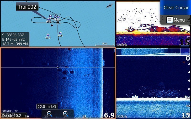
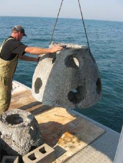
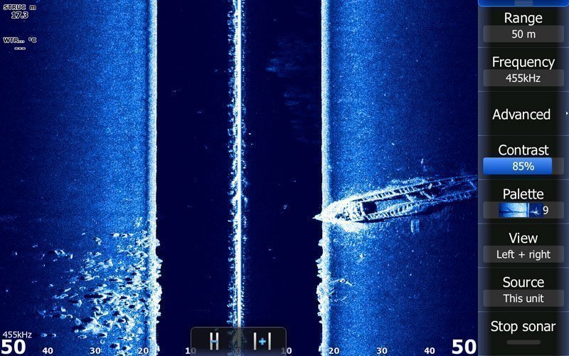
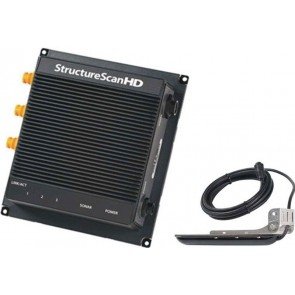
Fishing Licence fees have been put to good use in Victoria to create a number of artificial reefs in Port Phillip Bay. While the lat/long coordinates may be known, LSS-2 StructureScan with its superior imaging, shows the grid layout of these concrete structures.
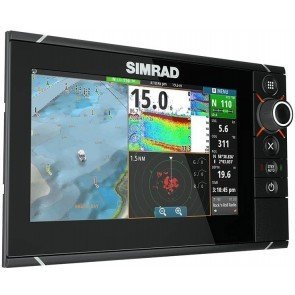
AND THEY WORK!!! - look at the concentration of Pinkie Snapper in the first image.
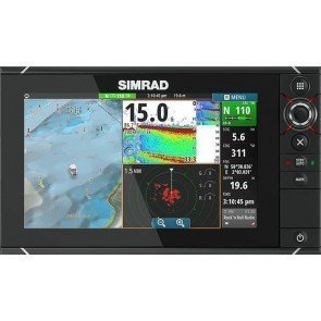
Looking at the side image (bottom left), we can see the grid formation layout next to the screen cursor. However when we look at the down image (bottom right), we can see them clearly standing up off the bottom. (This screen is from the Lowrance HDS12 Touch.)
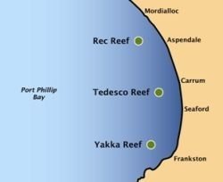
The three reefs are in a water depth of 11 metres, approximately 2 kilometres out from Aspendale, Seaford and Frankston. Commercial fishing is prohibited around these reefs.
A public naming competition was held during Easter 2009. The reef at Aspendale is named Rec Reef to highlight the use of these reefs to improve recreational fishing.
The reef at Seaford is named Tedesco Reef after Neil Tedesco who died in a diving accident in 2009, age 31. Neil was a devoted fisher and diver and an ambassador of these sports.
The reef at Frankston is named Yakka Reef after the growing popularity of Kayak fishing and the reefs accessibility to small craft.
