You have no items in your shopping cart.

Garmin Navionics Vision+ Charts
Find it In: Marine GPS, Marine Mapping Software.,


Product Description
Details
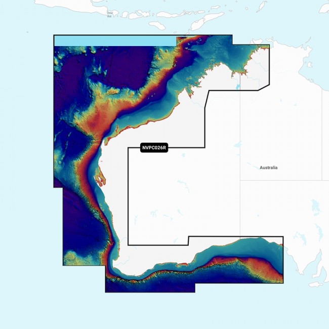
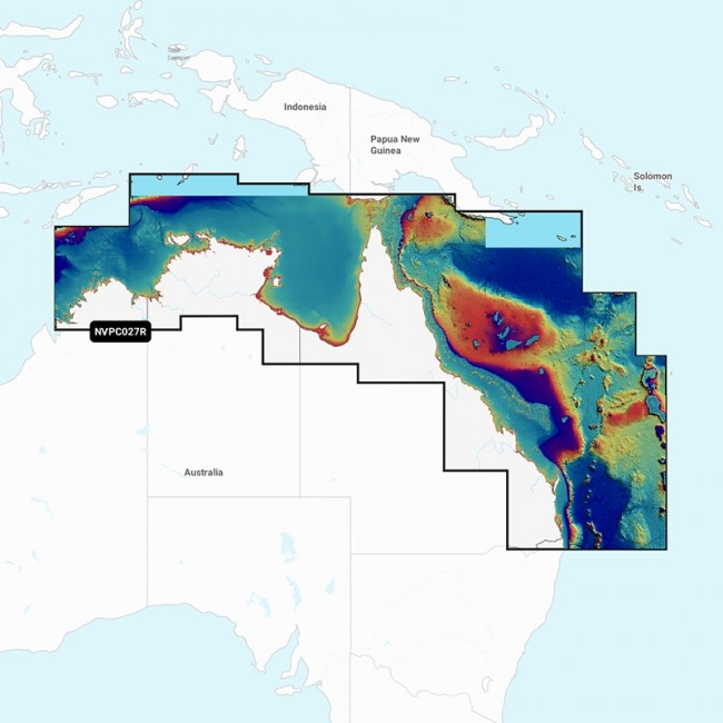
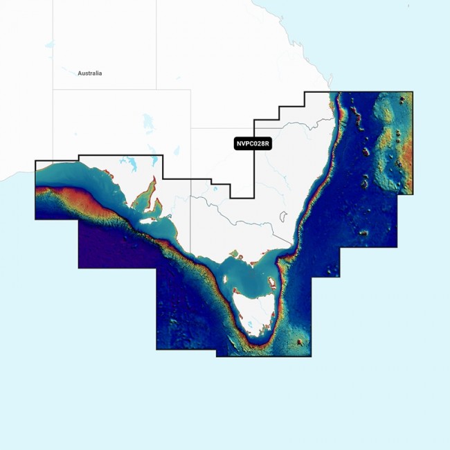
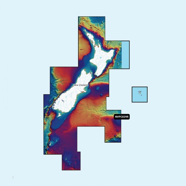
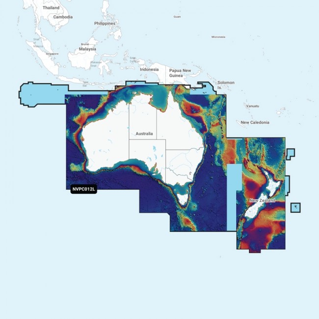
Garmin Navionics Vision+ Charts bring more options and layers to your charts than even the detail-rich mapping of coastal features, lakes and rivers found in standard Garmin Navionics+ charts adding High-resolution satellite imagery, relief shading, Aerial photography and 3D views where available to give you a truly all encompassing understanding of an area .
- All-in one coverage your Garmin chartplotter/combo
- High-resolution relief shading uses both colour and shadow to give you an easy to interpret view of bottom structure than contour lines would give
- High-resolution satellite imagery overlaid with Navigation charts gives you a realistic view of surroundings, vastly better for navigating unfamiliar ports/harbours
- Customise overlays and combinations
- 3D view such as MarinerEye and FishEye give you even more perspectives of the water above and below
- Access daily updates via Active Captain
- Where compatible, Auto Guidance lets you navigate with suggested dock-to-dock routes
- Vibrant colouring to make interpretation easy
- Select up to 10 colour coded depth ranges to help Scope out the best spots to fish
Specifications
Additional Information
| Brand | Garmin |
|---|---|
| Country of Manufacture | Italy |
Reviews


