You have no items in your shopping cart.
Bestseller

Navionics Platinum+ Charts
Find it In: Marine GPS, Marine Mapping Software.


Product Description
Details
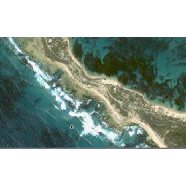
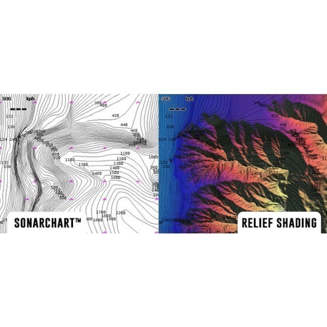
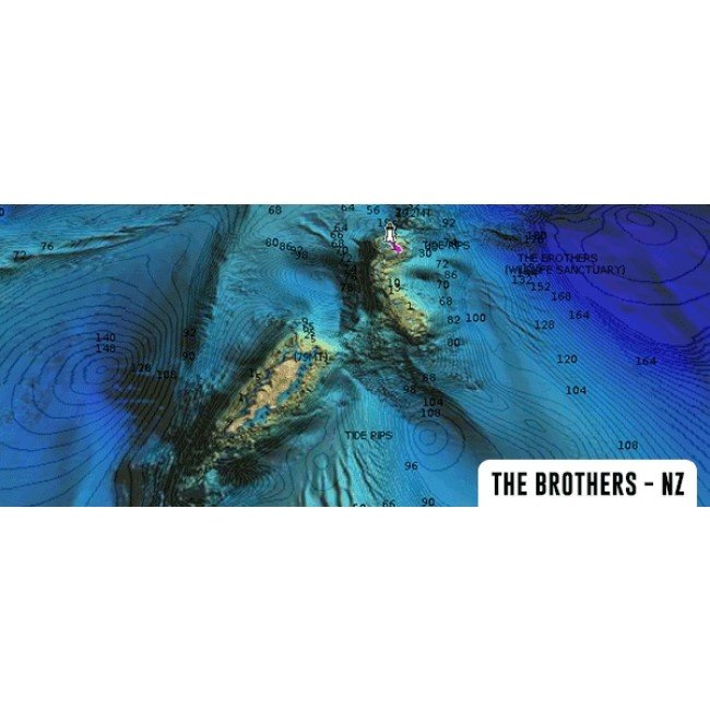
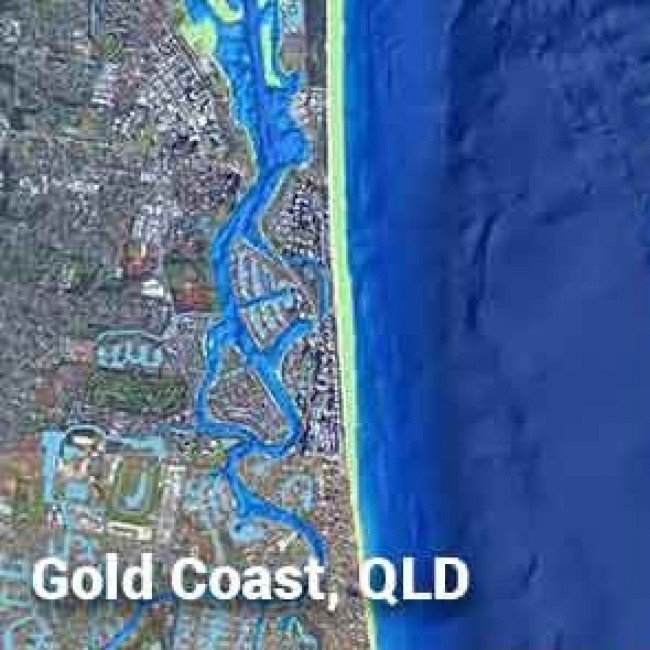
Navionics Platinum+ Charts with Bathymetric fishing Data realises the full potential on your Navionics compatible plotter and provides far more detail than the Navionics XL9 Gold cards. The award winning Navionics Platinum Plus provides more high definition photos in some areas. Find out how to access high-res Relief Shading here to make a difference in how you Fish.
Features:
- SonarChart Live support for Compatible Lowrance/ Simrad/ Raymarine/ Humminbird displays
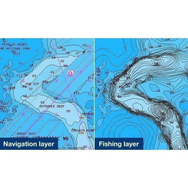
- Improved situational awareness through 3D and photographic Chart views.
- 3D Bathymetric Chart plotting.
- Top-down Aerial photo charts.
- Panoramic Navigation photos.
- Enhanced Ports and Service Guide.
- Detailed >vector Cartography.
- Major roads and highways.
- Extended wrecks database.
- Regular updates with Navionics Community Data (conditions apply)
- Geo referenced Coast Pilot Guide.
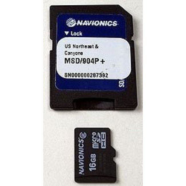
- Suits most recent Geonav (CF), Humminbird (SD), Lowrance (SD), Raymarine (CF) and Simrad (SD) systems.
- Check the Navionics Compatibility guide for your chartplotter unit.
- Where is my microSD card? Read here.
Fishing Data:
- Accurate high density Bathymetric depth contours
- High level of detail from shallow waters to offshore canyons
Upgrades - Requires Card Exchange
Upgrades - Requires Card Exchange


Specifications
Additional Information
| Brand | Navionics |
|---|---|
| Country of Manufacture | Italy |
Reviews


