You have no items in your shopping cart.
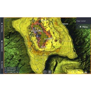
Bathymetric Charts
Similar Terms: Bathy Chart,Bathymetric
Charts which measure the depth of the ocean. Bathymetry is the equivalent to mapping topography on land - originally measured through depth Sounding.
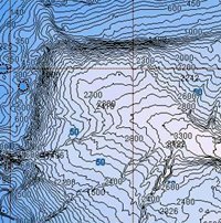
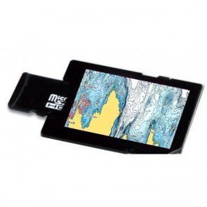
Bathymetric Chart showing depth contour lines in Bass Strait
Related Products
-
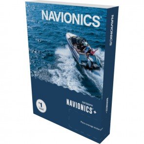
Navionics Platinum+ Charts
From: RRP $380.00
$359.10
-
C-Map Reveal Marine Charts
From: RRP $311.11
$295.00
-
Navionics+ Charts
From: RRP $200.00
$187.00
-
CMAP 4D
From: RRP $199.00
$191.00
-
C-Map Discover Marine Charts
From: RRP $155.10
$149.00