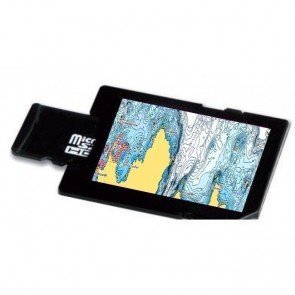
Vector Charts
Similar Terms: vector,ENC
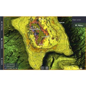
Vector Charts are the most common type of electronic Chart. They provide a computer-generated representation of a Chart, and contain all the information required for safe Navigation.
Vectors are often interactive, allowing the user to use a cursor to click on elements to obtain more information, or zoom in to obtain greater detail. They also have the benefit of beig able to layer information. Increasingly, vector charting packages contain additional information such as satellite imagery, Port information, tidal data and the ability to manage views and 3D imagery.
Vectors are used by all professional electronic charting systems authorised under IMO regulations, as well as most more-advanced leisure systems.
Related Products
-
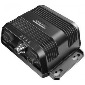
Simrad NAIS500 AIS Class B Transponder
RRP: $999.00
NOW: $921.00
-
C-Map Reveal Marine Charts
From: RRP $311.11
$295.00
-
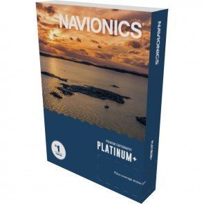
Navionics Platinum+ Charts
From: RRP $380.00
$359.10
-
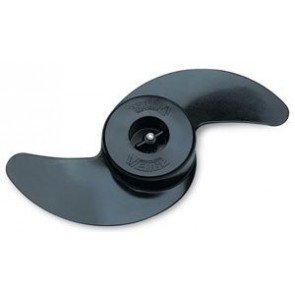
Minn Kota Propeller Weedless Wedge 2 - MKP-32
RRP: $139.90
NOW: $111.50
-
C-Map Discover Marine Charts
From: RRP $155.10
$149.00
-
C-Map Reveal X Charts
From: RRP $311.11
$299.00
-
C-Map Discover X Charts
From: RRP $155.10
$154.50

