You have no items in your shopping cart.
Chart
A map used by navigators - can be paper or electronic. Charts will usually display information such as water depth, tides and currents, land height (topographic map), natural features of the seabed, details of the coastline, location of any navigational hazards, human-made structures such as marinas, harbours, buildings and bridges, and local details of the Earth's magnetic field.
The biggest electronic chart providers are CMAP, Navionics and Insight Genesis.
There are two types of electronic charts - >vector and raster.
Follow the links for more information.
Related Products
-
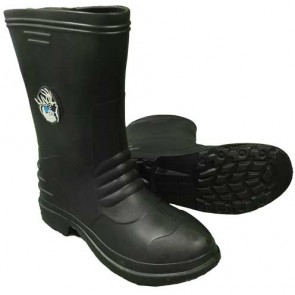
AFN Bush Boots
From: RRP $39.99
$39.00
-
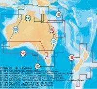
AUM005 Wide Jeppeson 3D Chart
$495.00 -
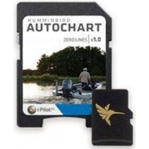
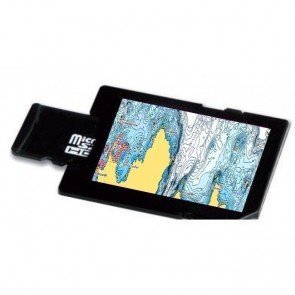
Autochart Zline SD AU Chart
RRP: $279.90
NOW: $218.00
-
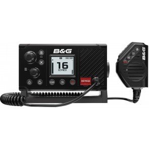
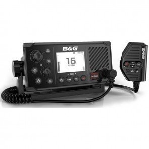
B&G V20S DSC Marine Radio With GPS
RRP: $469.00
NOW: $426.00
-
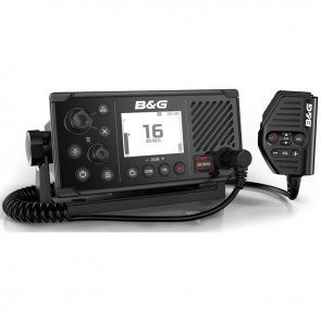
B&G V60 DSC VHF AIS Radio
RRP: $899.00
NOW: $841.50
-
B&G V60-B DSC GPS VHF AIS-B Radio
RRP: $1,599.00
NOW: $1,497.00
-
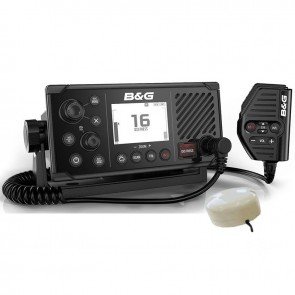
B&G V60-B DSC VHF AIS-B Radio with GPS-500 Antenna
RRP: $1,649.00
NOW: $1,543.50
-
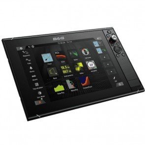
B&G Vulcan 9 FS GPS Chartplotter
From: RRP $1,649.00
$1,543.50
-
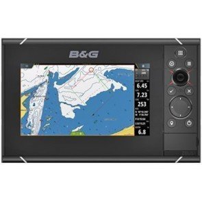
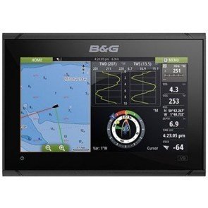
B&G Zeus3 7 Touch Multifunction Display
From: RRP $2,499.00
$2,304.00
-
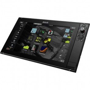
B&G Zeus3S 12 Touch Multifunction Display
RRP: $5,999.00
NOW: $5,961.00
-
B&G Zeus3S 16 Touch Multifunction Display - no map
RRP: $8,390.00
NOW: $7,949.00
-
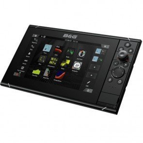
B&G Zeus3S 9 Touch Multifunction Display
RRP: $4,199.00
NOW: $4,172.50
-
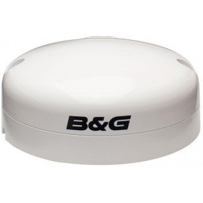
B&G ZG100 GPS Antenna
RRP: $369.00
NOW: $313.50
-
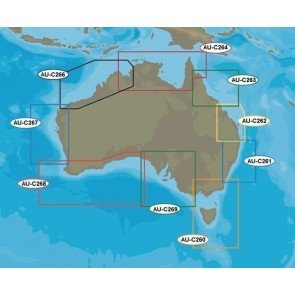
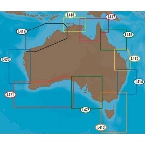
C-Map Discover Marine Charts
From: RRP $155.10
$149.00
-
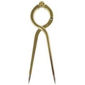
Chart Divider
$55.00 -
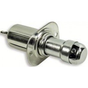
Cigarette Lighter
RRP: $23.90
NOW: $22.25
-
CMAP 4D
From: RRP $199.00
$191.00
-
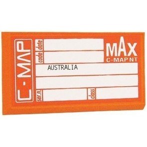
CMAP MAX
From: RRP $359.00
$346.40
-
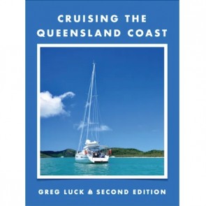
Cruising The Queensland Coast - Second Edition
RRP: $129.99
NOW: $125.00
-
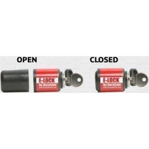
DuraSafe E-Lock
From: RRP $110.00
$105.00