You have no items in your shopping cart.
Chart
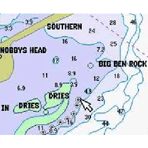
A map used by navigators - can be paper or electronic. Charts will usually display information such as water depth, tides and currents, land height (topographic map), natural features of the seabed, details of the coastline, location of any navigational hazards, human-made structures such as marinas, harbours, buildings and bridges, and local details of the Earth's magnetic field.
The biggest electronic chart providers are CMAP, Navionics and Insight Genesis.
There are two types of electronic charts - >vector and raster.
Follow the links for more information.
Related Products
-
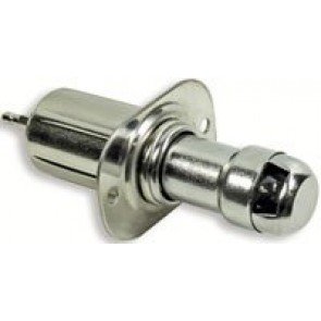
Cigarette Lighter
RRP: $23.90
NOW: $22.25
-
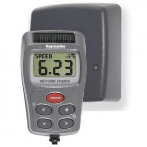
Tacktick T106 Wireless Remote Display
RRP: $1,277.00
NOW: $1,182.50
-
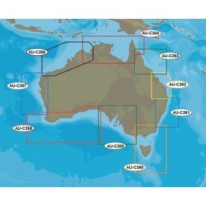
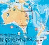
AUM005 Wide Jeppeson 3D Chart
$495.00 -
Garmin Blue Chart G3 All Australia Micro/SD
RRP: $240.00
NOW: $213.50
-
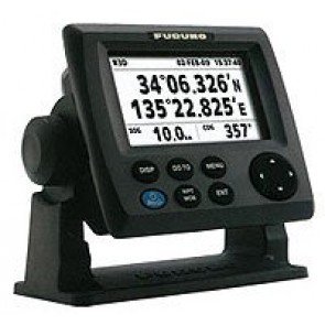
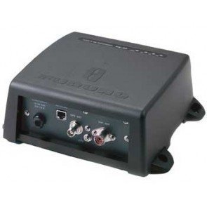
Furuno GP33 GPS Trackplotter
$819.00 -
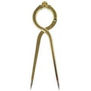
Chart Divider
$55.00 -
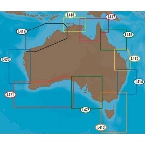
CMAP 4D
From: RRP $199.00
$191.00
-
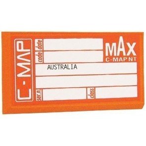
CMAP MAX
From: RRP $359.00
$346.40
-
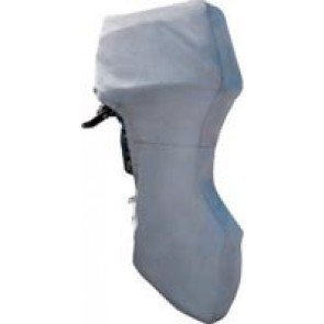
Ocean South Full Outboard Covers
From: RRP $34.90
$28.50
-
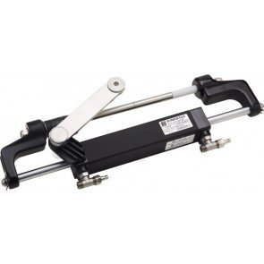
Ultraflex Hyco-obf Hydraulic Steering System Kit
RRP: $1,547.20
NOW: $1,250.00
-
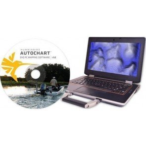
Humminbird Autochart Software
From: RRP $589.00
$500.00
-
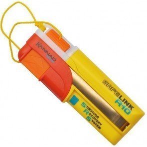
SafeLink R10 AIS MOB
$468.00 -
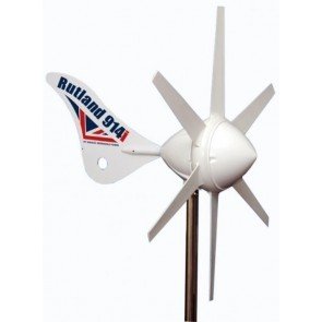
Rutland 914i Wind Generators
From: $2,675.00
-
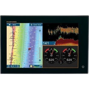
Furuno Navnet L TZT2 12" Multi Function Display
From: RRP $4,818.00
$4,394.00
-
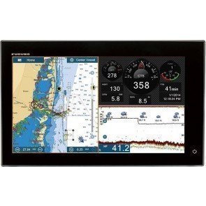
Furuno Navnet TZT2 15" Multi Function Display
From: RRP $6,028.00
$5,727.00
-
Furuno FA-50 Class B AIS Transponder
RRP: $2,750.00
NOW: $2,549.00
-
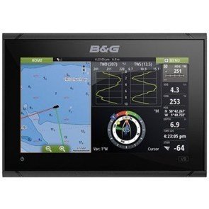
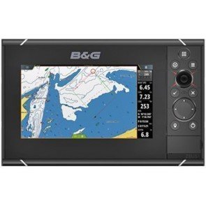
B&G Vulcan 9 FS GPS Chartplotter
From: RRP $1,649.00
$1,543.50
-
B&G Zeus3 7 Touch Multifunction Display
From: RRP $2,499.00
$2,304.00
-
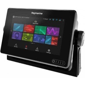
Raymarine Axiom 7 Chartplotter
From: RRP $1,199.00
$1,074.00
-
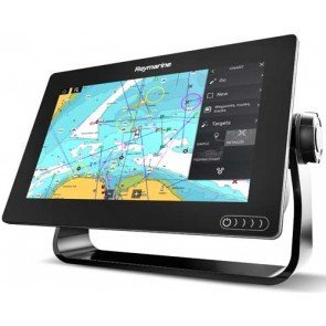
Raymarine Axiom 9 Chartplotter
From: RRP $2,299.00
$2,059.00