Routing
Similar Terms: easy routing, auto routing
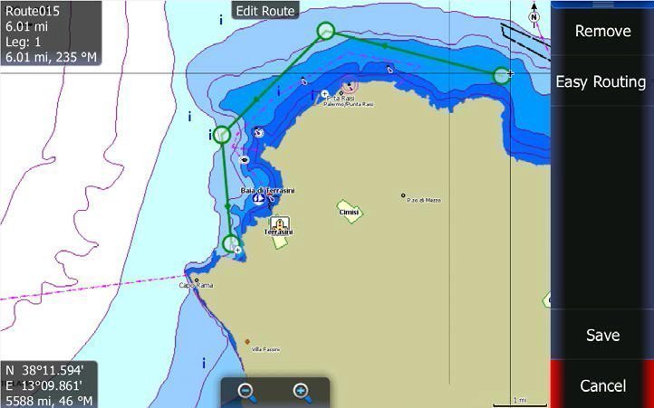
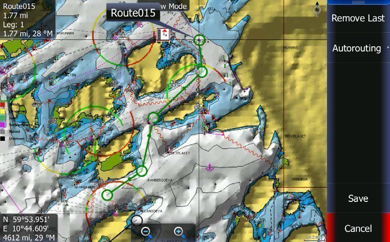
Routing automatically plots the shortest, safest route based on detailed chart data and vessel information (taking into account draught, beam width and height.)
Chart data can calculate your route based on your selected start and end points.
Charts that do this include Navionics Platinum, Nav+ and Navionics Updates Chart (not possible with Navionics Gold Charts).
Here is an example of this in C-MAP:
And in Navionics:
Related Products
-
GME AISS120 AIS VHF Antenna Splitter
RRP: $469.00
NOW: $441.00
-
BEP Pro Installer ANL and Class T Fuse Holders
From: RRP $74.90
$69.70
-
BEP Pro Installer Heavy Duty Busbars
From: RRP $229.90
$209.25
-
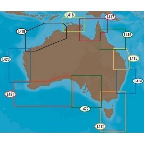
CMAP 4D
From: RRP $199.00
$191.00
-
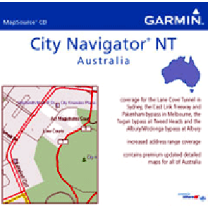
Garmin City Navigator CD ROM
From: $142.00
-
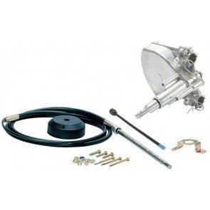
SeaStar Quick Connect 3 Turn Steering System
From: RRP $379.90
$354.00
-
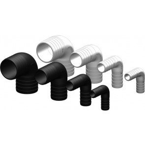
Tru-Design 90 Degree Connectors
From: RRP $11.90
$10.85
-
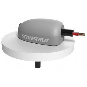
Scanstrut Deck Seals
From: RRP $31.90
$30.65
-
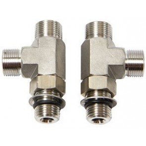
ORB Tee Fitting Kit
RRP: $199.90
NOW: $184.50
-
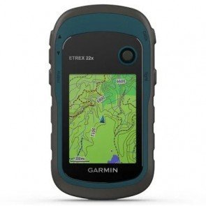
Garmin eTrex 22x Rugged Handheld GPS
RRP: $339.00
NOW: $325.50
-
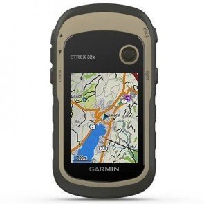
Garmin eTrex 32x Rugged Handheld GPS with Compass
RRP: $529.00
NOW: $508.00
-
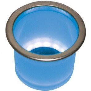
LED Lit Stainless Steel Rim Drink Holders
From: RRP $129.90
$118.25
-
C-Map Discover Marine Charts
From: RRP $155.10
$149.00
-
C-Map Reveal X Charts
From: RRP $311.11
$299.00
-
C-Map Discover X Charts
From: RRP $155.10
$154.50

