You have no items in your shopping cart.
CMAP Bathymetric Charts
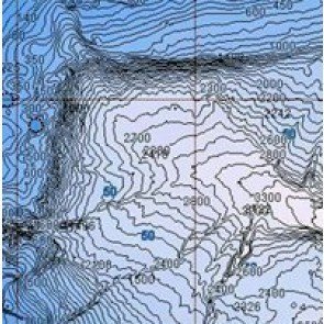
CMAP have announced today the release of Bathymetric Charts for Australian Waters. These are available in both NT+ and MAX formats on C Cards and SD Cards. They are sold as separate cards and cannot be combined onto one card with the existing map data.
NT+ Cards are priced at $189.00 inc GST and MAX cards at $249.00. There is too much data to fit all of Australia on one card and they have their own unique coverage areas. We have them on display in our show room so come and see for yourself.
Max Cards are divided into 4 areas:
Southern Australia - Coffs Harbour to SA/WA border
NE Australia - Coffs Harbour to Aligator River NT
NW Australia - Aligator River NT to Kalbari WA
SW Australia - Kalbari Wa - SA/WA border
The sailing fraternity will be able to use these charts to predict eddies in currents to improve performance while fishermen will be able to use them to find prominent seafloor structure to predict upwellings where the elusive bait Fish hides. Fishermen, mariners and sailors alike will find Jeppesen Bathymetric Charts a practical companion to standard navigational charts.
Rich high Resolution details – from depths 20 metres and below – make them ideal for fishermen, divers, mariners and sailors alike, however, Jeppesen Bathymetric Charts are not intended for navigational use.