You have no items in your shopping cart.
CMAP Reveal Explained
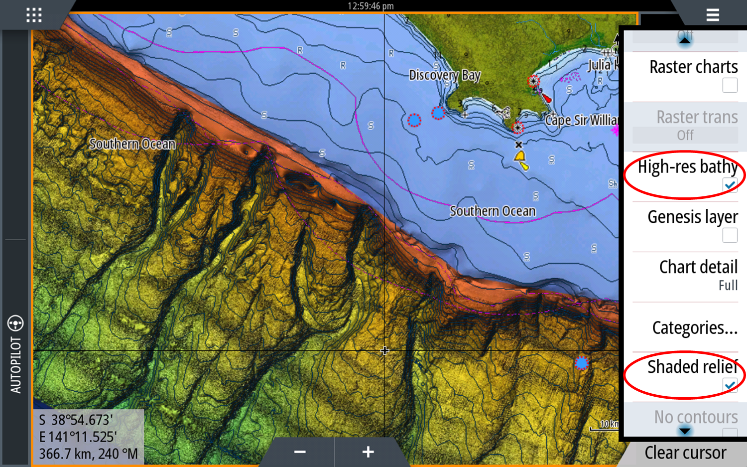
C-Map Reveal sets a new standard in fishing Charts. Up until C-MAP Reveal, we have relied on Hi Res Bathy data to point to where we want to be.
But now as these stunning images show, so much more information can be seen in the C-MAP shaded relief presentation.
C-Map Reveal charts help anglers and divers save time on the water, finding key areas faster with the high-definition views of structure, wrecks and contour changes on the sea floor.
Features:
C-Map Reveal is available to all Lowrance and Simrad users with:
Users with Embedded C-MAP Cartography can overlay their existing data by purchasing a C-MAP Reveal Map.
It is supplied on a micro SD Card inside a SD Card adapter
Register your map and chartplotter to receive one upgrade within 1 year of date of map purchase via gofreeshop.com.
For a tutorial on on CMAP Reveal, you can also register for this handy webinar here.
For more information on any of our products, get in touch with us at CH Smith Marine here online or give us a call on (03) 9403 4800.
![]()
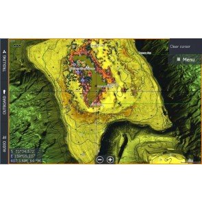
Reveal detail The horseshoe near Port MacDonald

Hi Res Bathymetric Data
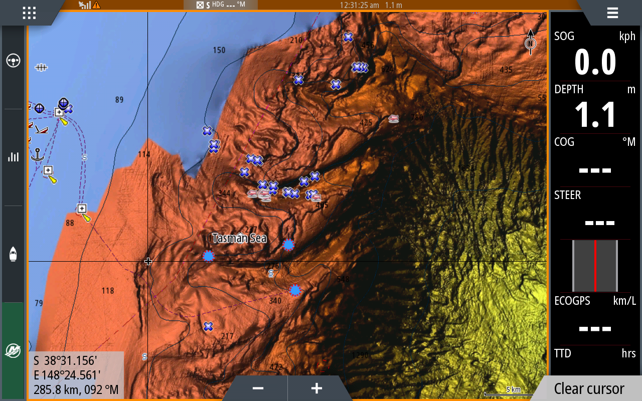
Bass Canyon